Challenge
Welcome to this first writeup dedicated to the Bleuet de France v5 CTF by AEGE! It took place remotely, from Friday May 8, 2026 at 10:00 AM to Friday May 15, 2026 at 8:00 PM. It's a CTF I took part in solo.
The Bleuet de France CTF only features OSINT challenges, oriented towards the French Resistance and the duty of remembrance.
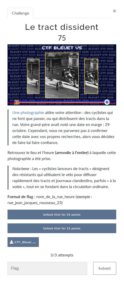
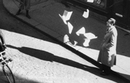
This challenge involves finding the location shown in the photo, as well as the time the photo was taken.
Methodology
First step: get more information about the image, via a reverse image search.
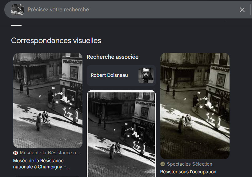
The first result leads to musee-resistance.com, which gives us the name of the street: "rue Henry Monnier".
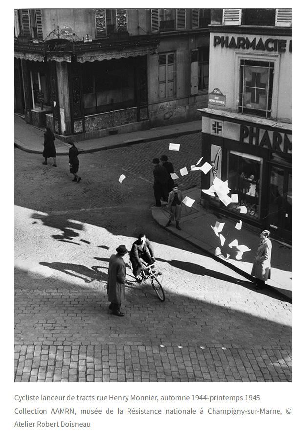
We now have the precise location and the date. All that's left is to use the shadows to find the time. For that, SunCalc is the perfect tool.
First, I need to find the exact spot. I search for rue Henry Monnier on Google Maps: since the street isn't very long, I quickly find the place where the photo was taken.
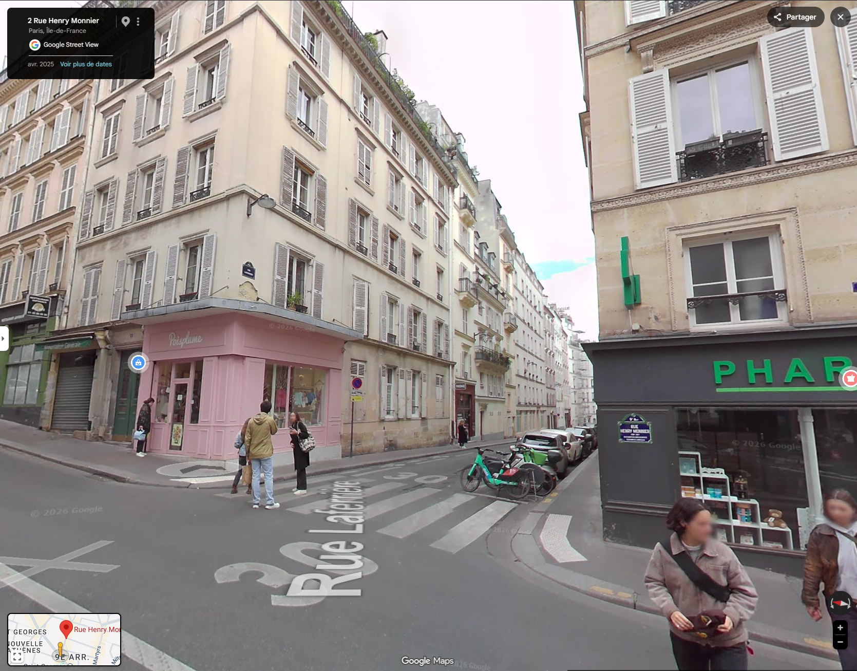
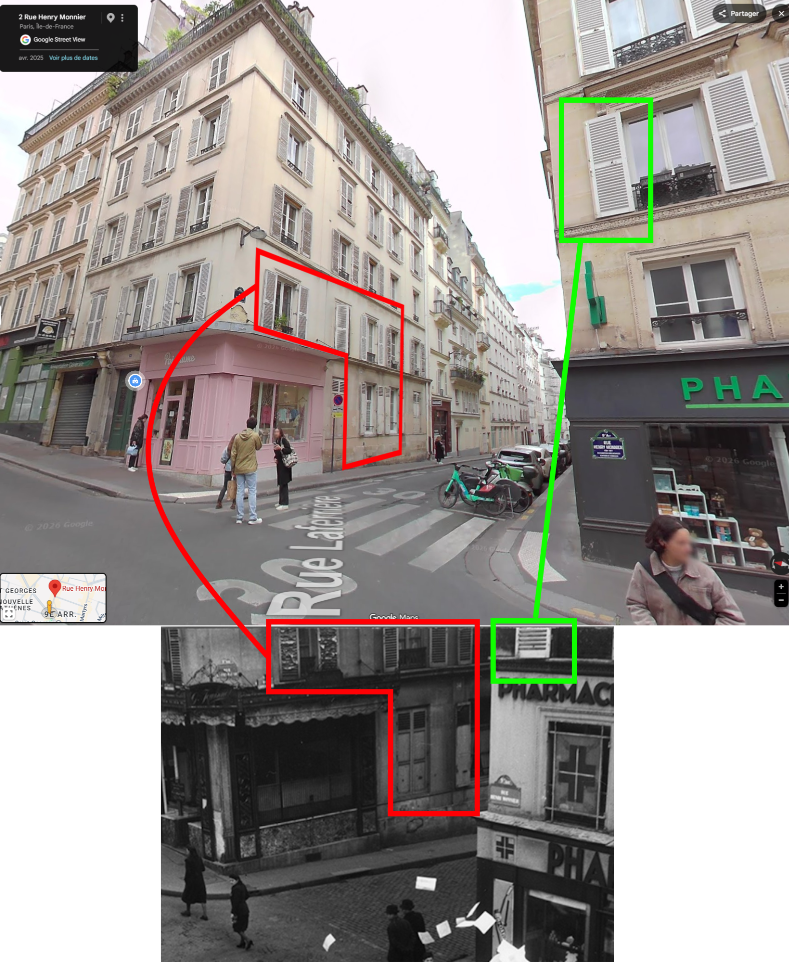
We notice the shutters are very similar:
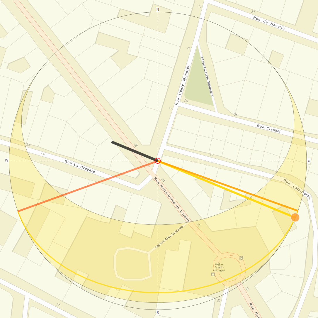
On SunCalc, I place the point at this position:
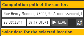
Next, I need to choose the precise date, here October 29, 1944:
I'm going to base this on human shadows, so I set a height of 1m80 (5'11"), the average height of an adult man:

Then, using the slider on SunCalc, I move the sun's position to get a shadow projection resembling those in the photo:
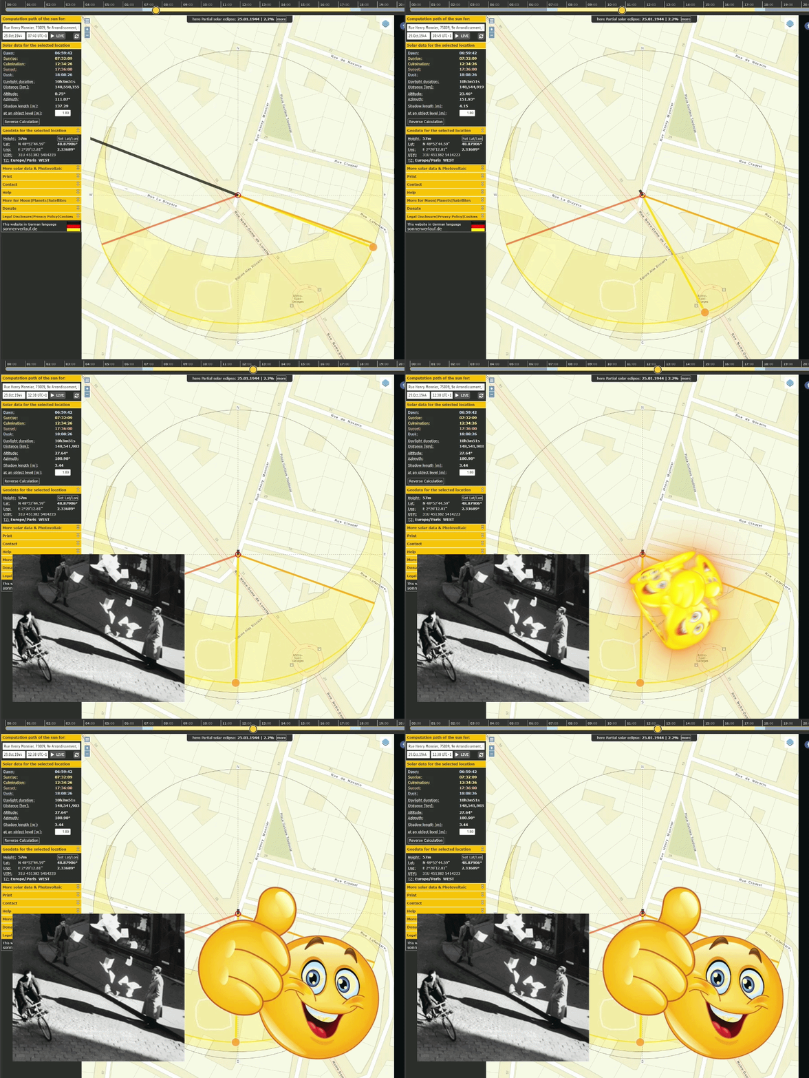
So I estimate the time to be around noon.

Flag